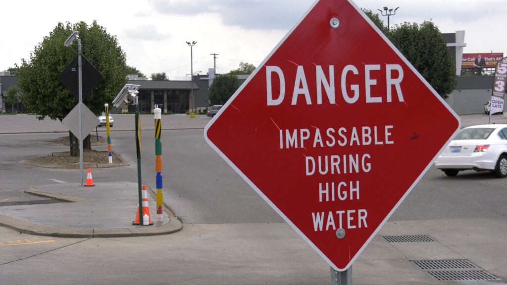
MORE DRY DAYS AHEAD…THEN SOME RAIN!
Much of this week will remain warm and fairly seasonable with highs in the upper 70’s each day. This will make matters worse for the ongoing drought as the lack of rain and a high fire danger will continue. However, we finally see signs of change coming by the weekend. A more potent cold front will approach by Saturday bringing the best chance of showers and thunderstorms we’ve seen in a while. A few storms could be strong with periods of heavy rain as we head into Sunday and Monday. Then, temperatures will fall from the upper 70’s to around 80 to only near 70 by Sunday.

DOWNLOAD THE NEWS 40 WEATHER APP!
Real-time radar, weather alerts, lightning notifications, school closings and delays, current conditions and forecasts, LIVE breaking weather…it’s all on the News40 Weather App driven by Greenwood Ford Lincoln’s Mobile Service. Download it now for FREE! (Apple/Google)